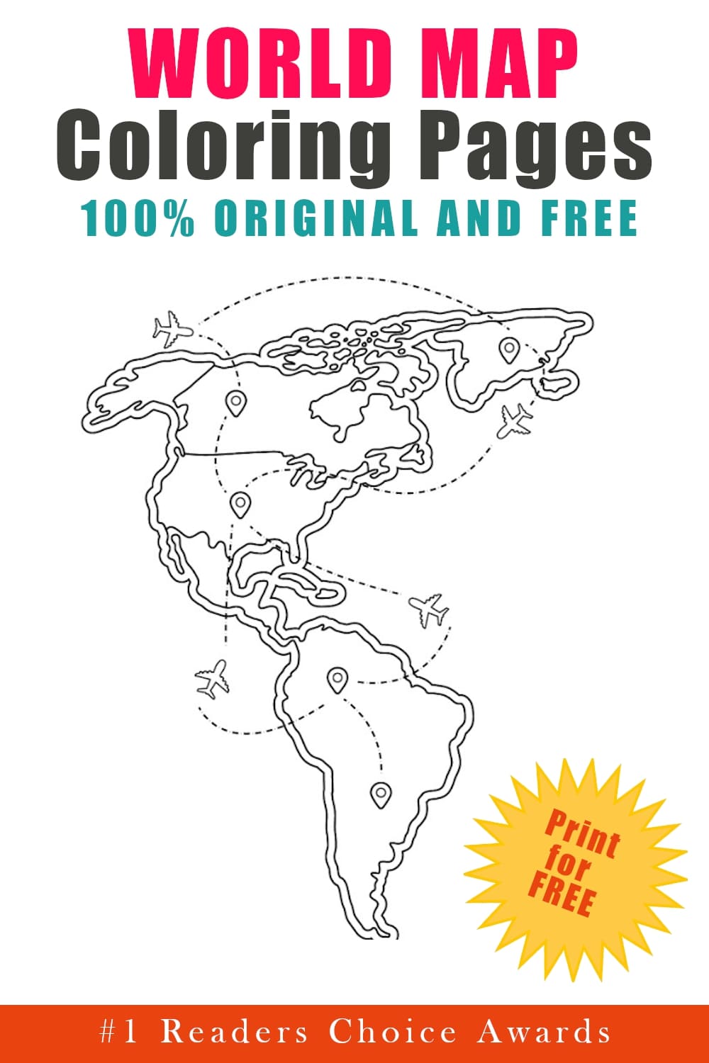


World Map coloring pages bring geography to life in 30 printable PDF sheets for free. From detailed continent maps to playful posters with labeled regions, this collection makes exploring the world both creative and educational.
These World Map coloring pages are perfect for kids learning about continents, countries, and global landmarks. Parents and teachers can print them for geography lessons, homeschool activities, or quiet coloring time that doubles as a learning moment.
Some pages focus on specific continents like Africa, Europe, Asia, Australia, North America, South America, and even Antarctica, with their names written clearly above. Others show broader world maps with multiple continents and countries, and even fun extras like planes flying across the map to spark travel-themed imagination.
Because these are free printable World Map coloring pages in PDF format, you can easily print them at home or in the classroom. Grab different colors for each continent and turn every page into a bright, easy-to-read map.
World Map Coloring Pages: 30 Printable PDF Sheets for Free
This set of printable World Map coloring pages includes both simple continent outlines for younger children and more detailed country maps for older kids. Some sheets zoom in on regions like Europe or Africa with country borders clearly marked, while others show North and South America together or a full world view ready to be colored by continent. Each free printable PDF sheet is designed for easy printing, making geography practice hands-on and engaging.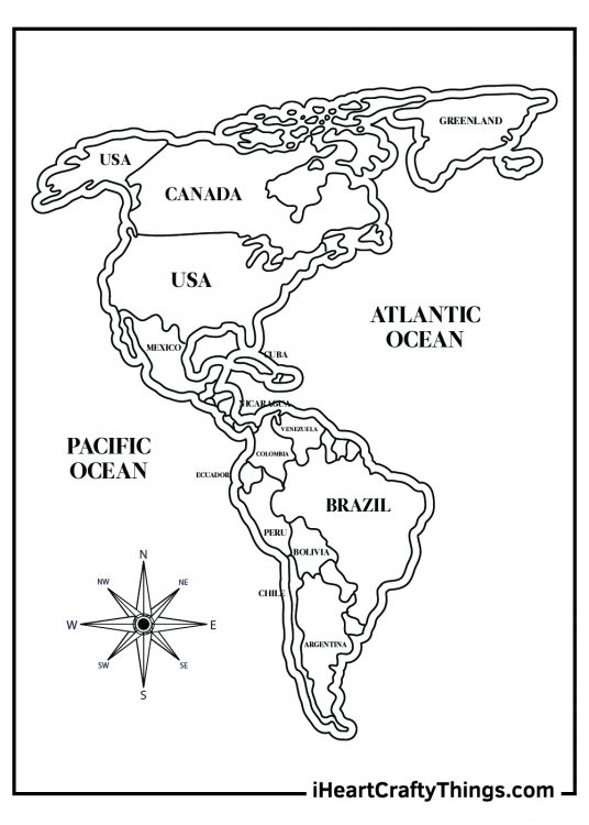
1. North and South America Countries World Map Coloring Page
The first stop on our world map journey shows us the continents of North and South America. This coloring page even shows the different countries on the continents for you to color. Are there any countries you hadn’t heard of? Maybe you could look up the flag of each country and use the colors for each country segment!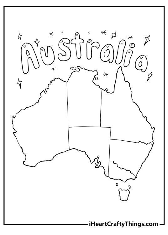
2. Australia Map with Label Printable Coloring Sheet
Explore Australia with this fun World Map Coloring Page. This coloring page features a detailed map of Australia, the smallest continent and one of the most diverse countries in the world. Australia is known for its unique wildlife, stunning landscapes, and rich culture. Can you name some of the animals that live in Australia, such as kangaroos, koalas, or platypuses? How about some of the landmarks, such as the Sydney Opera House, Uluru, or the Great Barrier Reef? You can learn more about Australia by coloring this map with your favorite colors.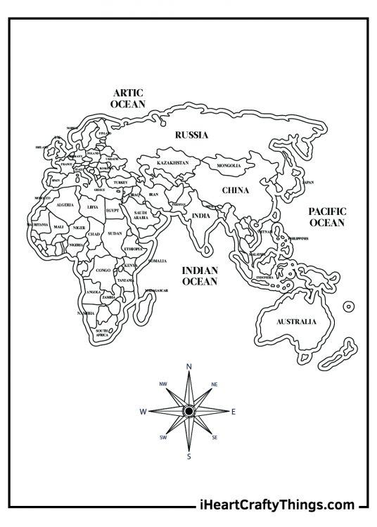
3. Africa, Asia, Europe, and Australia World Map Coloring Page
For the next world map coloring sheet we have the continents of Africa, Asia, Europe and Australia. This page also shows the various countries on each continent. Have you ever visited any of these places in real life? If you feel up to the challenge you could continue with our suggestion from the last coloring page and look up the flag colors of each country to color in.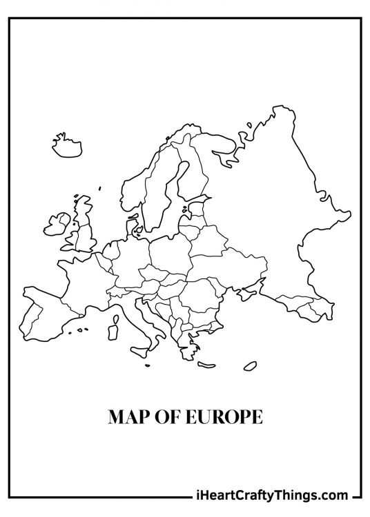
4. Detailed Europe Map Poster Coloring Page
Be sure to pack a sweater and a raincoat because Europe is next on the agenda. How many countries would you be able to fill in from memory? You can use the previous coloring printable as a reference if you get stuck. It’s cold and rainy in much of Europe, so maybe you could use greens and blues to give a more chilly feeling to this coloring page.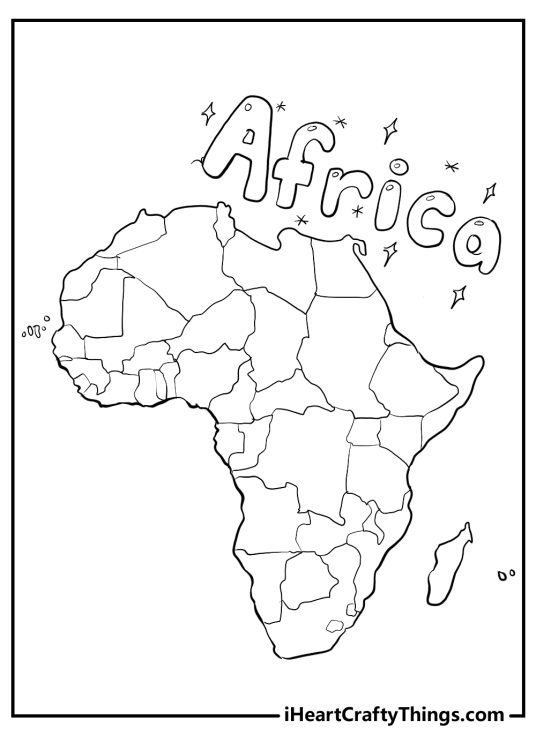
5. Africa Map with Playful “Africa” Title Coloring Sheet
This coloring page features the continent of Africa, the second largest and most populous continent in the world. Africa is home to diverse cultures, languages, wildlife and landscapes. You can learn more about this amazing continent by coloring its countries, islands and symbols. The word “Africa” is written in a playful font above the continent, surrounded by stars and arrows. You can color them any way you like, or add some more details to make them more fun.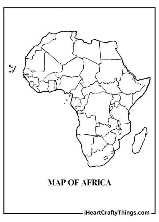
6. Africa Continent Map Printable for Kids
Don’t forget your safari hat as we’re heading to Africa for the next coloring page printable. From Egypt to the North right down to South Africa at the bottom, there are many different countries, cultures and wildlife to appreciate throughout Africa. Africa can get pretty hot, so you could use warmer reds, yellows and oranges for this coloring sheet.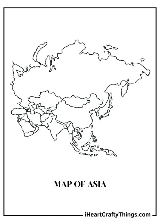
7. Asia Continent World Map Poster Coloring Page
Asia is another continent with many different countries. From the cold lands of Russia to the bustling cities of Japan there’s a lot to see and do for this coloring page! How many countries would you be able to fill in from memory, and what colors would you use for them?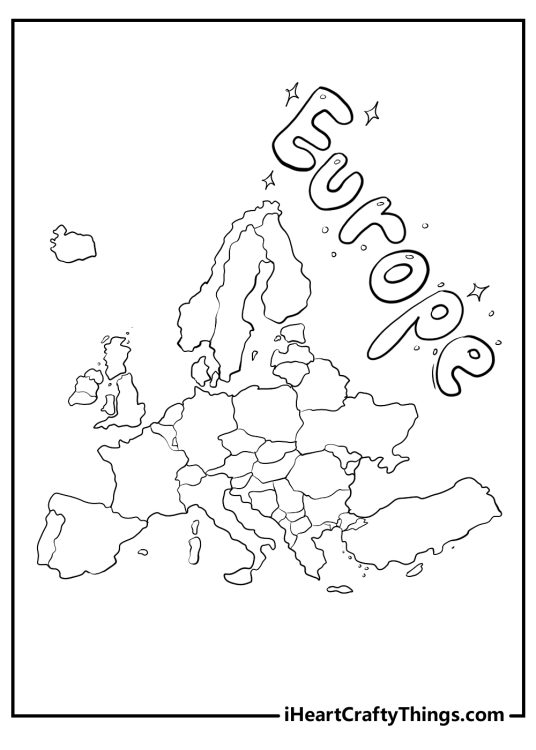
8. Europe Map with Playful Label Coloring Page
This World Map coloring page features the continent of Europe, the third smallest but most diverse continent in the world. The word “Europe” is written in a playful font above the map, surrounded by stars. You can color them any way you like, or add some more details to make them more fun. The map is a simplified version of the continent with the countries outlined. You can use different colors to distinguish them, or follow a map to color them accurately.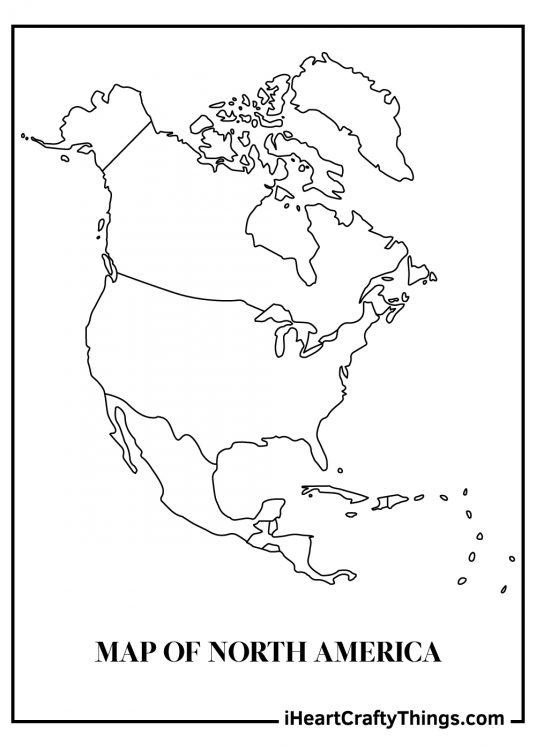
9. North America Map for Kids Coloring Page
North America is the continent featured in this coloring page. How many of the fifty US states would you be able to name? Extra points if you know where they go on the map! Don’t forget that Canada is to the north, so you could draw in and color the flags for Canada and the United States to really help to distinguish them.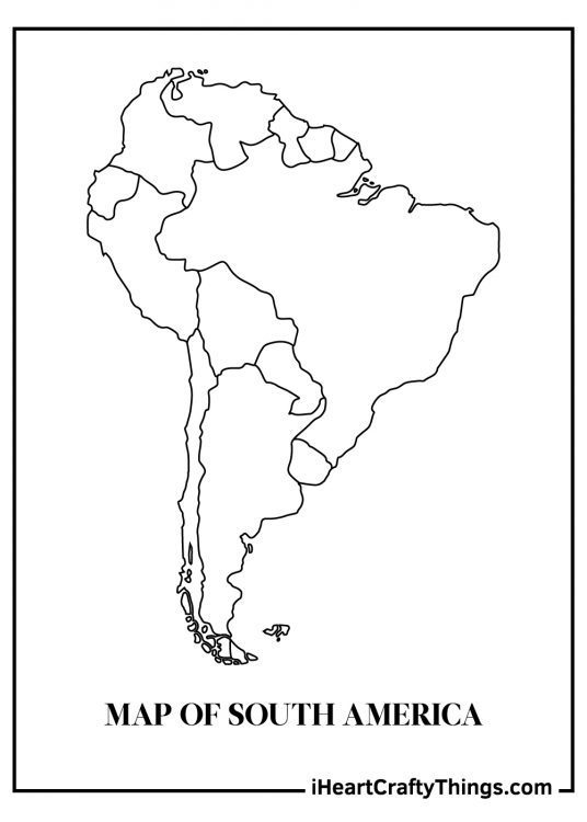
10. South America Map with Clear Background Coloring Sheet
Our next world map coloring page printable features South America. This is a continent that has many huge jungles and cities with one of the longest rivers in the world, the Amazon River, being there too. I’m thinking different shades of green would help represent the lush forests and vegetation that can be found throughout South America.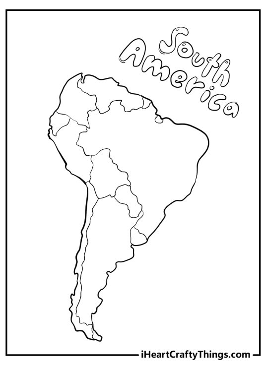
11. South America Map with Title Printable Coloring Page
This coloring page features the continent of South America, the fourth largest and fifth most populous continent in the world. South America is home to many countries, cultures, languages and natural wonders. The word “South America” is written in a playful font above the map, surrounded by stars. You can color them any way you like, or add some more details to make them more fun. The map is a simplified version of the continent with the countries outlined.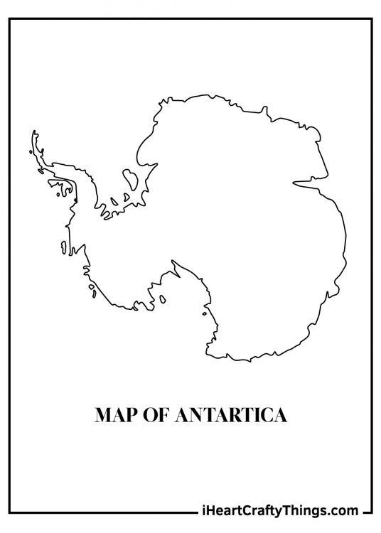
12. Antarctica Continent Map Coloring Page
Pack your warmest coat, because Antarctica is our next world map coloring page location. This is a land of ice, snow and some of the coldest temperatures on earth. This may be a cold, unforgiving place, but you can find penguins roaming the frozen countryside, so that’s a plus! For this coloring page I think cooler blues and greens would make for an appropriate color scheme.
13. Australia World Map Coloring Page
We’re hopping down to Australia for the next world map coloring sheet. Don’t forget New Zealand near the bottom of the map! There are some of the coolest and most unusual animals in the world in Australia, with everything from koalas to kangaroos and deadly snakes and spiders! If you have a favorite Australian animal, maybe you could draw it into the map, and then use warm oranges to represent the heat and outback areas of Australia.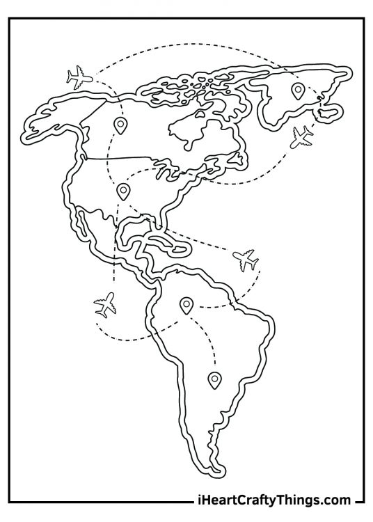
14. Americas Map with Airplanes Flying Around Coloring Page
This world map coloring page shows a globetrotting adventure throughout North and South America. It looks like we’re looking at a flight schedule with planes dotting around and flying all over the place. If you could be on one of those planes right now, where would you want it to take you on this map to visit?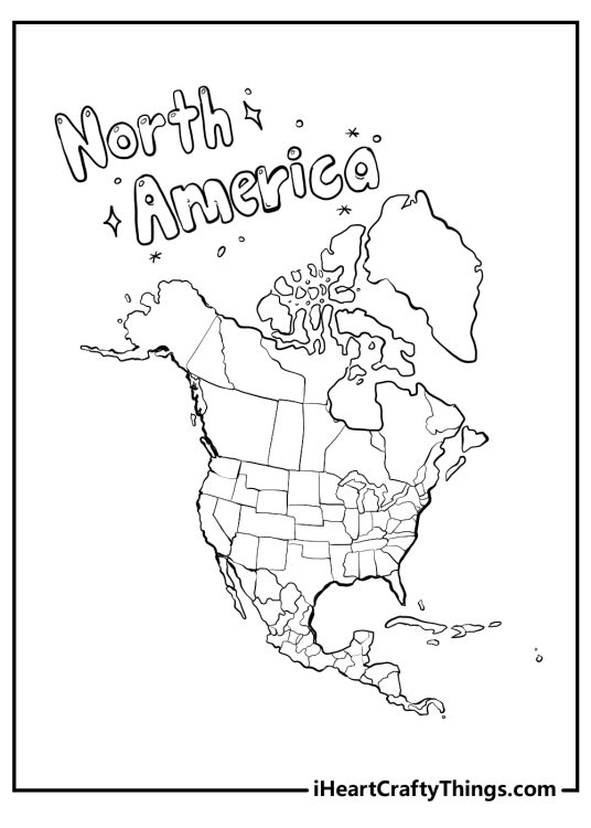
15. Detailed North America Map Coloring Page for Kids
This coloring page features the continent of North America, the third largest and fourth most populous continent in the world. North America is home to many countries, cultures, languages and natural wonders. You can learn more about this amazing continent by coloring its countries and symbols. You can use different colors to distinguish them. You can also add some shading or texture to make them more realistic,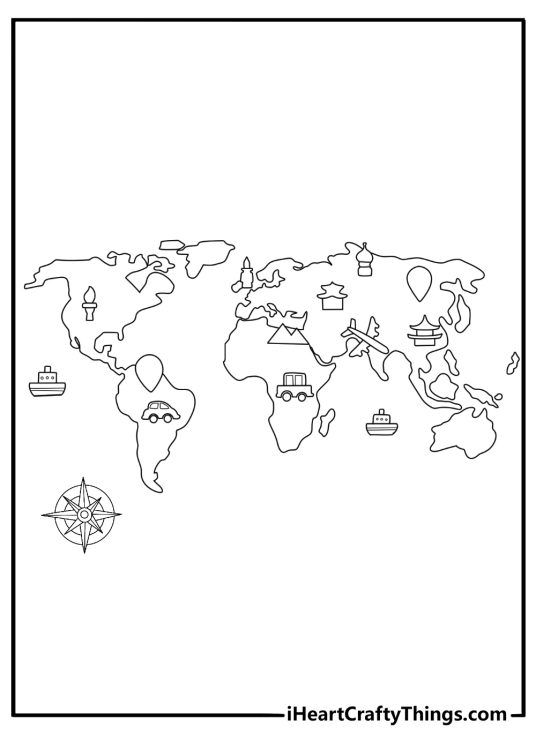
16. Easy World Map Coloring Page with Compass Rose
A simple world map sits alongside a classic compass rose, the symbol sailors once used to navigate the oceans. Kids can color each continent differently and experiment with bright shades for the directional star. It’s a fun way to introduce the ideas of north, south, east, and west while coloring.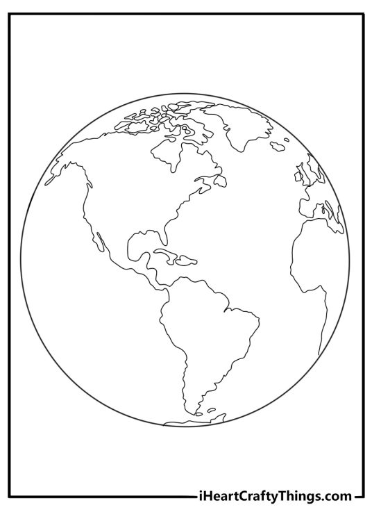
17. Globe View World Map in Circle Frame Coloring Page
This design presents the world as if viewed on a round globe, neatly framed inside a circle. The curved perspective helps kids picture how Earth looks from space. Blue oceans and varied continent colors can make the globe feel lively and easy to explore.18. Kawaii World Map with Landmark Icons Coloring Sheet
A cheerful kawaii-style world map spreads across the page with tiny landmark icons scattered over different continents. Kids might spot famous structures and imagine traveling around the world. Bright, playful colors bring extra personality to each little symbol.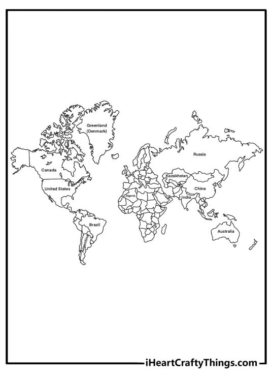
19. Political World Map with Country Names Coloring Page
Country names appear clearly across this political world map, making it useful for geography learning. Coloring each nation with a different shade can help kids remember where places are located. It’s a neat blend of creativity and map-reading practice.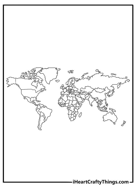
20. Blank World Map Quiz Practice Coloring Sheet
This blank world map leaves out country names, creating space for quizzes, labeling activities, or classroom challenges. Students can try writing in countries from memory before adding color. It turns a simple coloring page into a hands-on geography exercise.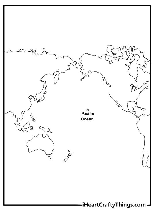
21. Pacific-Centered World Map Coloring Page
Unlike most maps, this layout places the Pacific Ocean right in the middle of the page. It helps show how Asia, Australia, and the Americas connect across the vast ocean. Shades of deep blue and turquoise can make the Pacific feel truly enormous.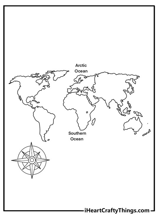
22. World Map Poster with Arctic and Southern Oceans Coloring Sheet
The top and bottom of the map highlight the icy Arctic and the cold Southern Ocean surrounding Antarctica. These polar waters are home to animals like seals, whales, and penguins. Cool blues and frosty whites can capture the chilly atmosphere of the poles.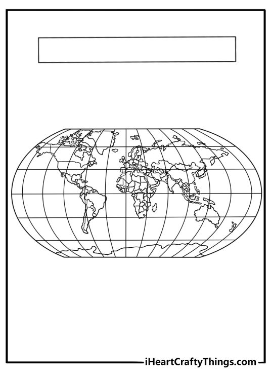
23. Latitude and Longitude World Map Coloring Page for Adults
Fine grid lines stretch across the map, marking latitude and longitude used for navigation and global coordinates. Sailors and pilots rely on these lines to pinpoint locations anywhere on Earth. Careful coloring can make the grid and continents stand out clearly.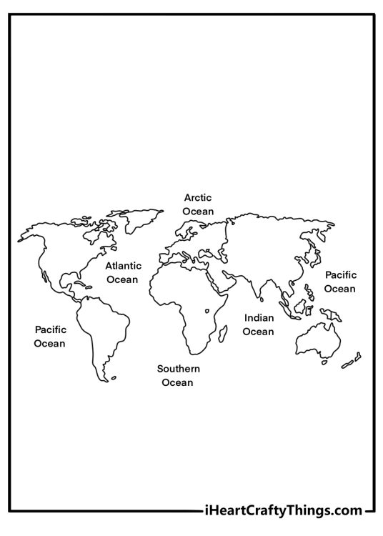
24. Simple World Map with Labeled Oceans Coloring Page
All major continents appear clearly while the world’s large oceans are labeled for easy learning. Coloring the oceans in different shades of blue can help distinguish them from one another. It’s a calm, straightforward page for practicing world geography.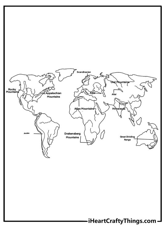
25. Physical World Map with Mountains and Rivers Coloring Sheet
This map focuses on Earth’s natural features, including mountain ranges and major rivers. Kids might trace the paths of famous rivers or shade mountain areas with earthy tones. It’s a great way to learn how landscapes shape the continents.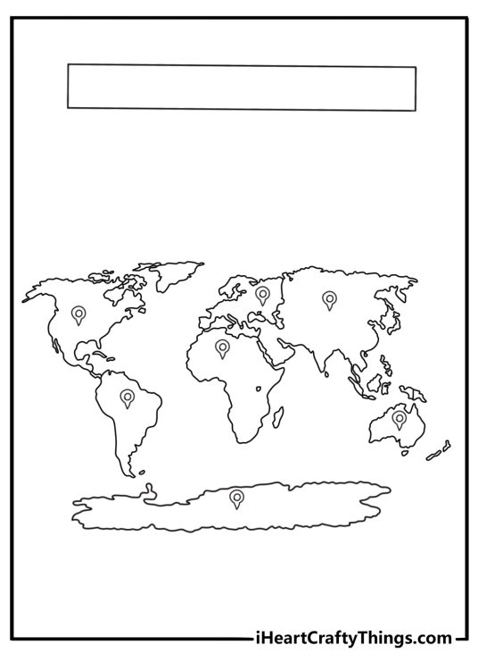
26. Large Continent Shapes World Map for Kids Coloring Page
Big, easy-to-see continent shapes make this map especially friendly for younger learners. Each landmass has plenty of open space for bold coloring. Children can give every continent its own color to remember where they belong.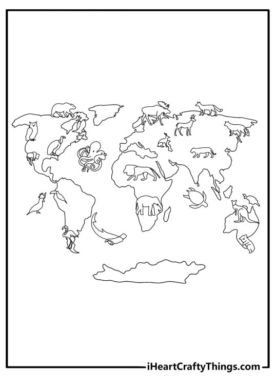
27. Vintage Style World Map with Ships and Sea Creatures
An old-fashioned map design includes classic sailing ships and playful sea creatures in the oceans. Maps like these were common centuries ago when explorers were charting new routes. Warm parchment tones and deep blues can give the page a historic feel.
28. World Map with Flags Near Country Borders Coloring Page
Small flags appear near different countries, hinting at the cultures and nations around the world. Coloring each flag accurately can turn the activity into a mini geography challenge. The result becomes a colorful display of global diversity.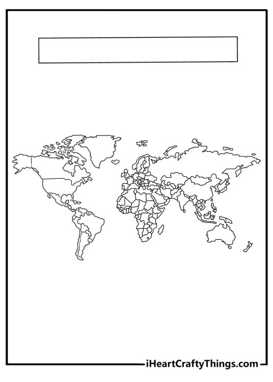
29. World Map with Blank Title Space Classroom Coloring Sheet
A large blank title area at the top leaves room for a custom heading or project name. Teachers and students can label it for geography lessons, posters, or school reports. The open layout makes it easy to decorate with creative colors and notes.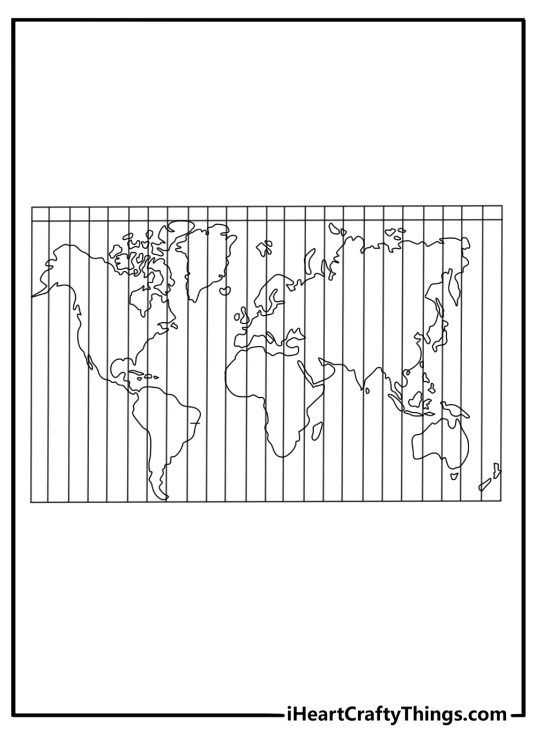
30. World Map with Time Zone Lines Coloring Page
Vertical lines divide the map into time zones, showing how different parts of the world experience different hours of the day. It explains why morning in one country can be nighttime in another. Alternating colors between zones can help the pattern stand out.You might also like to print:

After You Color Your World Map Coloring Pages
Once the continents are filled with color and the oceans are shaded blue, your World Map coloring pages can become powerful learning tools. Finished pages are perfect for projects, displays, and interactive lessons.- Label major oceans, countries, or capitals directly on your colored map.
- Create a color key where each continent has its own shade and add a small legend in the corner.
- Use a continent-specific page, like Africa or Europe, to research and write three fun facts about that region.
- Draw tiny icons, such as animals or landmarks, on different continents to represent famous features.
- Turn a completed map into a classroom wall display for a geography unit.
- Staple several printable World Map coloring pages together to make a mini geography workbook.
Make It a Travel-Themed Activity
Invite kids to pick one continent they colored and imagine taking a trip there. They can write a short paragraph about what they might see, eat, or explore.World Map Coloring Pages for Curious Young Explorers
There is something exciting about coloring an entire continent and realizing how big and diverse our world really is. These free printable World Map coloring pages combine creative expression with meaningful geography practice in one easy-to-print PDF collection. Whether your child is just learning the names of the continents or studying detailed country borders, there is plenty here to explore. Print your favorite World Map coloring pages and enjoy a colorful journey around the globe together.